Seoul, the vibrant capital city of South Korea, is a dynamic metropolis blending ancient traditions with cutting-edge technology. Strategically positioned in Northeast Asia, Seoul’s unique geographic location has played a pivotal role in shaping its development and influence throughout history. In this piece, the focus moves beyond the mere geography of latitude and longitude to explore how Seoul stands as a hub of economic, cultural, and technological innovation. From its urban landscapes to its role in global navigation and mapping, this exploration delves into the multifaceted aspects that make Seoul a cornerstone of modern Asia.
Geographic Coordinates and Strategic Location of Seoul
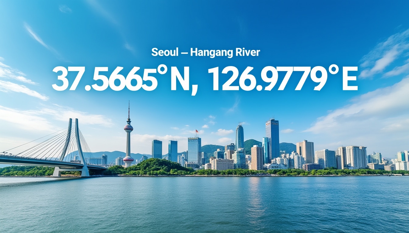
Seoul is located at approximately 37°34’N latitude and 126°59’E longitude, a prime position that has influenced its role as a key player in global affairs. This strategic location places Seoul near vital Asian neighbors like China and Japan, which are only a few hours away by air. Seoul’s proximity to the Yellow Sea further enhances its accessibility and trade capabilities. The geographic coordinates also play a significant part in its climate, marked by distinct seasonal changes that complement the city’s temperate weather. 📍
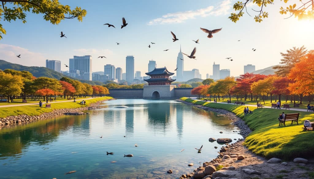
In terms of urban geography, Seoul covers an area that stretches about 30.30 km north-to-south and 36.78 km west-to-east. The city is divided by the Hangang (River), which flows horizontally and defines the geographical layout, splitting the city into northern and southern parts. Such geographical features are essential for urban planning and have a direct impact on navigation and transportation within the city. Explore more on Seoul’s geographical elements.
Moreover, Seoul serves as a pivotal link between continents, often regarded as the ‘Gateway to Asia and Europe.’ This position elevates Seoul’s importance in international trade and travel, contributing to its status as a global city. The city’s international airport, Incheon, is conveniently located to support this global outreach, enabling direct flights to major cities worldwide. Such ease of access underscores Seoul’s potential and capability as a major visitor destination and trade hub.
| City | Latitude | Longitude | Significance |
|---|---|---|---|
| Seoul | 37°34’N | 126°59’E | Capital of South Korea |
| Incheon | 37°28’N | 126°38’E | International Airport |
| Busan | 35°05’N | 129°01’E | Major Port City |
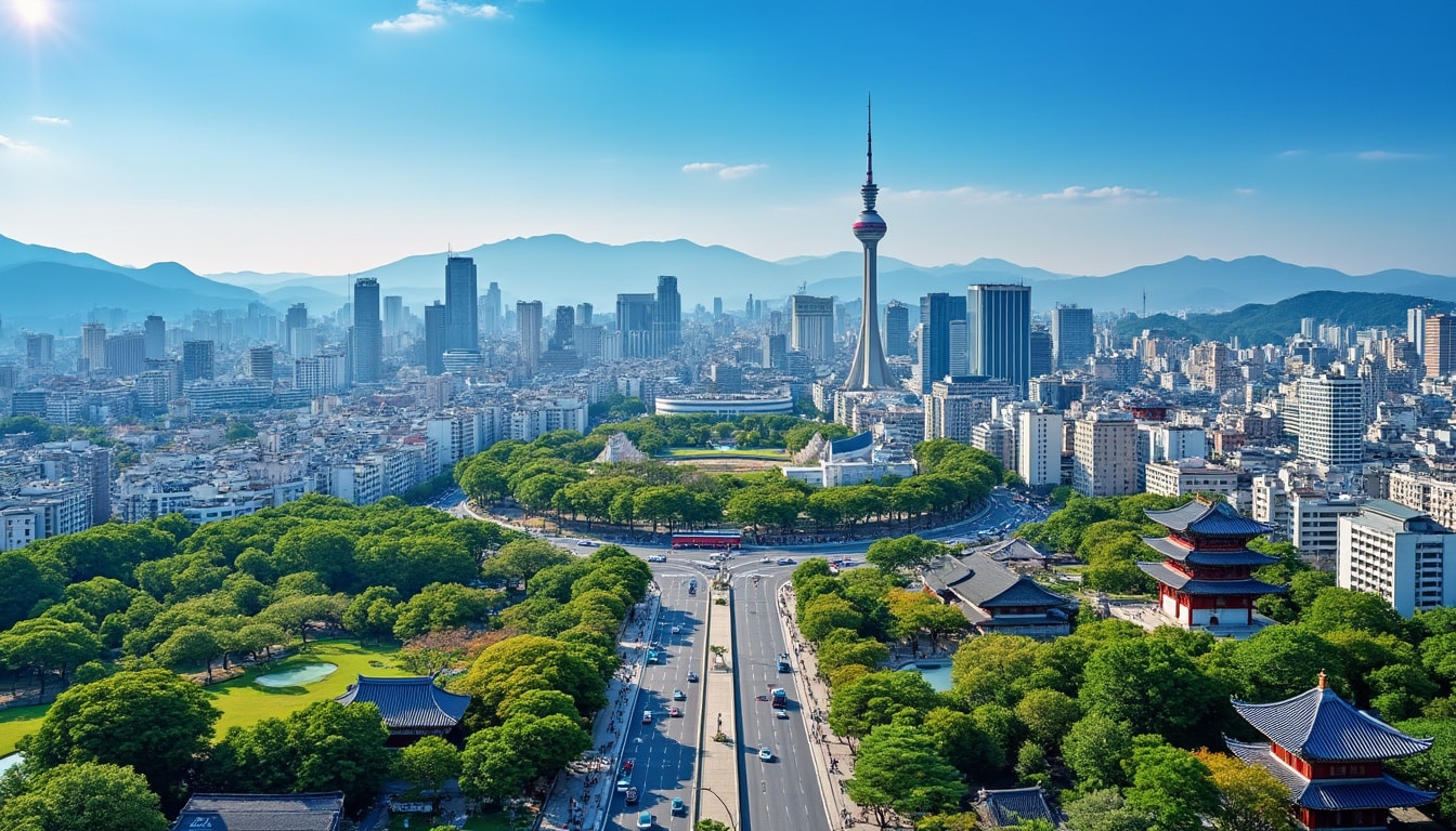
The Urban Landscape and Navigation in Seoul
Seoul’s urban architecture is a fascinating amalgamation of history and modern ingenuity, which is effectively navigated through advanced mapping and GPS technologies. The metropolis is split into 25 autonomous districts, further divided into 426 administrative “dong” units. This structured emdivision aids effective governance and enhances local navigation. 🚦
The city’s layout is not just about its roads and boundaries. Each district boasts unique attractions and cultural landmarks that reflect the city’s rich history and modern achievements. For travelers, accessing these areas is made convenient by Seoul’s comprehensive public transport system, which is one of the most advanced globally. Its extensive subway network, efficient bus systems, and innovative taxi services make exploring the city seamless.
Mapping and GPS technology have revolutionized urban navigation in Seoul. With numerous apps tailored for visitors and residents, digital maps offer real-time updates and navigation assistance, simplifying movement within the city. These tools utilize the detailed urban planning and geographic data available, ensuring accuracy and efficiency in geolocation and travel.
- 🚌 Extensive subway covering all major districts.
- 📲 Navigation apps providing real-time traffic updates.
- 🚖 Well-developed taxi services with multilingual support.
- 🚇 Efficient interconnection of subway and bus lines.
Tips on communication in Seoul
Navigation advancements are not limited to transportation alone. SmartCity innovations, including augmented reality and 3D mapping, are being integrated into tourist areas to enhance cultural experiences. These digital experiences allow visitors to immerse themselves fully in Seoul’s history and modern-day marvels, enriching their travel tales with the city’s vibrant culture.
Seoul as a Center of Travel and Mapping
The role of Seoul in global mapping and navigation extends beyond its borders. As a hub of technological innovation, Seoul has contributed significantly to advancements in digital mapping and geographic information systems (GIS). Such contributions are enhancing travel experiences and promoting intelligent urban infrastructure on a global scale.
The seamless integration of mapping technology into the daily lives of Seoul’s inhabitants demonstrates the city’s commitment to becoming a SmartCity. Innovations in urban planning and infrastructure are fueled by accurate mapping, catalyzing growth and development. This ambition is mirrored in programs that encourage the adoption of cutting-edge technologies in urban management.
Seoul plays a crucial role in fostering international collaborations in technology and urban development. By hosting global conferences and being an incubator for tech startups, Seoul enhances its reputation as a nerve center for innovation. The city’s investments in digital twins and smart city technologies place it at the forefront of global efforts to build sustainable urban environments.
| Innovation Aspect | Description |
|---|---|
| SmartCity Initiatives | Embracing integration of tech in daily urban life |
| Mapping Technology | GIS systems enhancing travel and infrastructure |
| Geolocation Applications | Real-time updates for improved navigation |
| Technological Collaborations | Fostering global tech partnerships and innovation |
Seoul’s commitment to environmental sustainability combined with its technology-driven mindset exemplifies a model for future urban landscapes worldwide. This vision includes developments such as energy-efficient buildings, green spaces within city bounds, and citizen-centric planning approaches. 📈
Climate and Geographic Impact on Urban Life
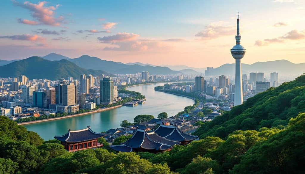
The temperate climate of Seoul, heavily influenced by its latitude and longitude, greatly impacts urban living. Summers bring heavy rains, a result of the monsoon season, which significantly affects daily life and urban planning. Understanding these weather patterns is crucial for infrastructure development and crisis management in the city.
Seoul’s urban infrastructure adapts to these environmental challenges through innovative design and planning. This includes construction that can withstand severe weather and well-maintained drainage systems. Such integration of climate awareness into urban planning is vital in minimizing disruptions and enhancing quality of life for residents.
The city’s approach to managing climatic effects extends to policies aimed at sustainability and resilience. Initiatives promoting renewable energy, waste management systems, and eco-friendly public transportation play a pivotal role in maintaining Seoul’s status as a forward-thinking city.
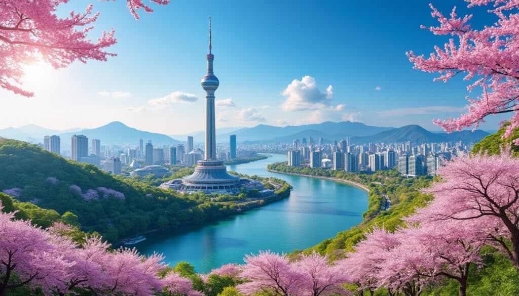
For travelers, understanding Seoul’s climate is key to enhancing their experience. The seasonal variations offer a diverse range of activities, from cherry blossom season to winter snow festivals. Knowing when to visit can significantly impact the enjoyment of Seoul’s natural and urban attractions. 🌸
Learn about Seoul’s geographical influences
- 🌧️ Rainy summers due to monsoon influence.
- ❄️ Cold winters with occasional snowfall.
- 🌸 Spring and autumn are perfect for outdoor exploration.
Seoul’s Role in Modern Navigation and Travel Connectivity
Seoul’s strategic geographic position, advanced technology, and comprehensive transport infrastructure have crafted it into a core hub for navigation and travel throughout Asia and beyond. The city’s proactive stance on connectivity demonstrates its dedication to accessibility both locally and internationally.
The compactness of South Korea allows for fast intercity travel, with Seoul serving as the starting point for journeys across the country. High-speed rail networks such as the KTX link key cities together, expanding travel options and promoting economic interconnectivity. Such infrastructure supports Seoul’s ambition to be a leading global city dedicated to ensuring efficient local and international travel.
The evolution of digital technologies has also amplified Seoul’s standing in global navigation. State-of-the-art mapping services and real-time geolocation data are a testament to South Korea’s tech prowess, facilitating seamless travel experiences. This technological infrastructure supports the exploration of Seoul’s iconic districts as well as remote towns.
Efforts to enhance connectivity and smart travel are continuous, ensuring Seoul remains at the cutting edge of navigation solutions. The commitment to developing infrastructure that embraces flexible travel and urban sustainability propels Seoul into a future where it continues to be a pivotal intersection of culture, travel, and innovation.
- 🚅 High-speed rail networks linking major cities.
- 🔧 Continued development of urban tech solutions.
- 📍 Comprehensive real-time mapping and navigation services.
Discover how to move to Seoul legally
FAQs About Seoul’s Location and Navigation
Q: What are the exact coordinates of Seoul?
A: Seoul is located at 37°34’N latitude and 126°59’E longitude.
Q: How does Seoul’s geographic position benefit travelers?
A: Seoul’s strategic location near China and Japan makes it an ideal gateway for travel in Northeast Asia. It is well-connected for international flights, and its comprehensive transport systems ease local and regional travel.
Q: How does climate influence Seoul’s urban planning?
A: Seoul’s temperate climate, marked by monsoonal rains in summer, influences its infrastructure development to manage weather-related challenges effectively.
Q: What technologies support navigation in Seoul?
A: Advanced digital mapping services and GPS applications provide comprehensive guidance for both residents and visitors, enhancing travel within the city.
Q: Why is Seoul considered a SmartCity?
A: Seoul’s investment in technological development, including smart infrastructure and mapping innovations, positions it as a leading SmartCity committed to sustainable urban living and global connectivity.
Seoul, the vibrant capital of South Korea, is a fascinating blend of modernity and tradition, nestled amidst a diverse and compelling natural landscape. Known for its bustling city life, Seoul offers more than just its skyscrapers and neon lights. The…
Geographical features of Seoul
Seoul, a city that seamlessly blends the old with the new, offers a unique geographical tapestry that is as diverse as it is fascinating. The bustling capital of South Korea is set against a backdrop of picturesque mountains, nestled beside…

Seoul, a city renowned for its vibrant urban life and towering skyscrapers, also harbors a surprising natural beauty that invites both locals and visitors to take a refreshing step back from the bustling streets. Amidst the blend of modernity, you’ll…
Seoul, a vibrant metropolis with its rich tapestry of culture and history, is also a city intricately woven with nature’s watercourses. As these bodies of water meander through and around the city, they offer residents and visitors both tranquility and…